Simple environmental management
Covram is an easy to use environmental management platform that helps record, assess and manage natural resources.
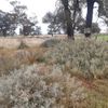
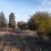
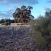
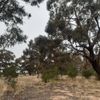
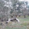
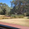
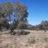
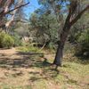
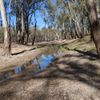
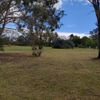
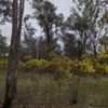
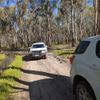
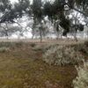
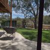
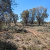
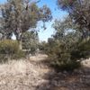
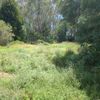
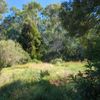
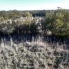
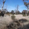
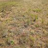
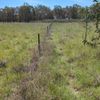
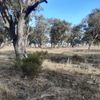
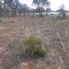
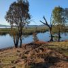
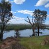
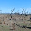
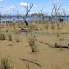
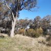
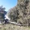
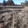
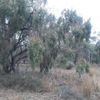
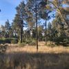
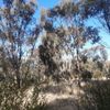
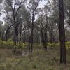
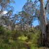
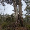
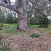
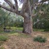
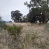
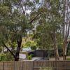
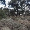

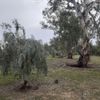
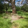
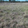
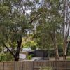
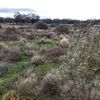
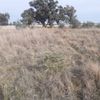
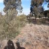
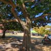
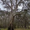
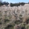
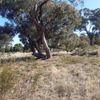
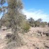
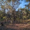
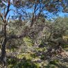
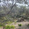
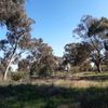
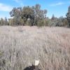
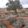
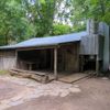
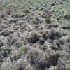
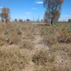
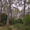
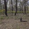
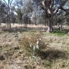
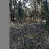
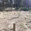
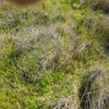
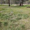
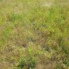
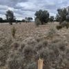
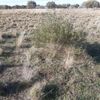
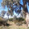
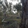
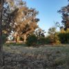
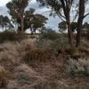
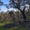
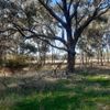
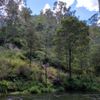
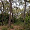
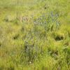
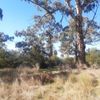
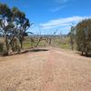
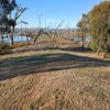
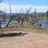
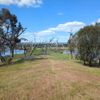
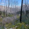
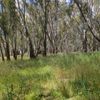
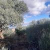
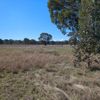
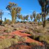
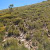
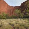
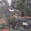
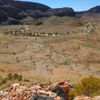
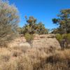
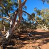
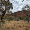
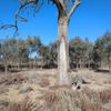
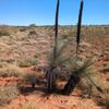
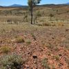
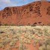
Easily record environmental data
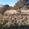
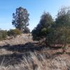
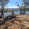
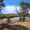
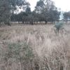
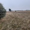
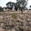
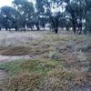
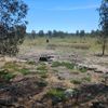
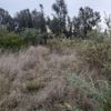
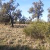
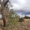
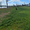
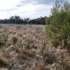
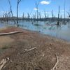
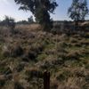
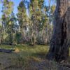
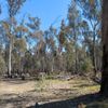
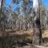
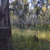
From simple photopoint monitoring to complex ecological surveys, the Covram Field App allows users to capture a wide range of environmental field data.
- Automatic data syncingPhotos and field data collected in the Field App appear in the Dashboard once your device has a connection.
- Data sharing and collaborationInvite colleagues by email so everyone works from the same project data.
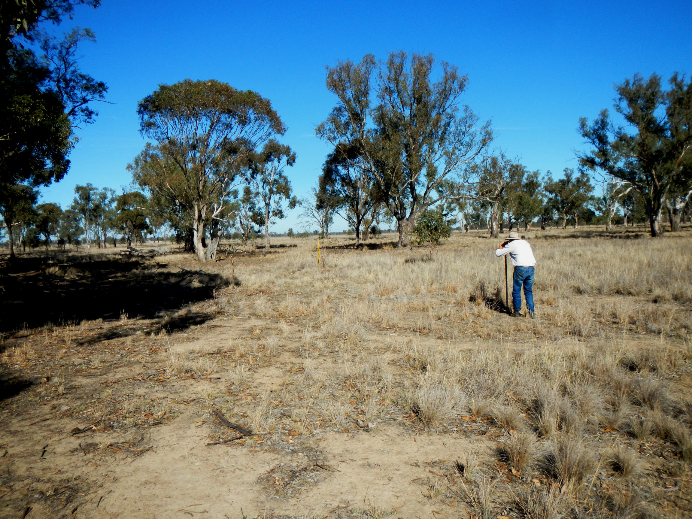
- Monitor change over timeRepeat visits and photopoint photos build a record of how a site changes, which you can chart over time.
Understand your environmental assets
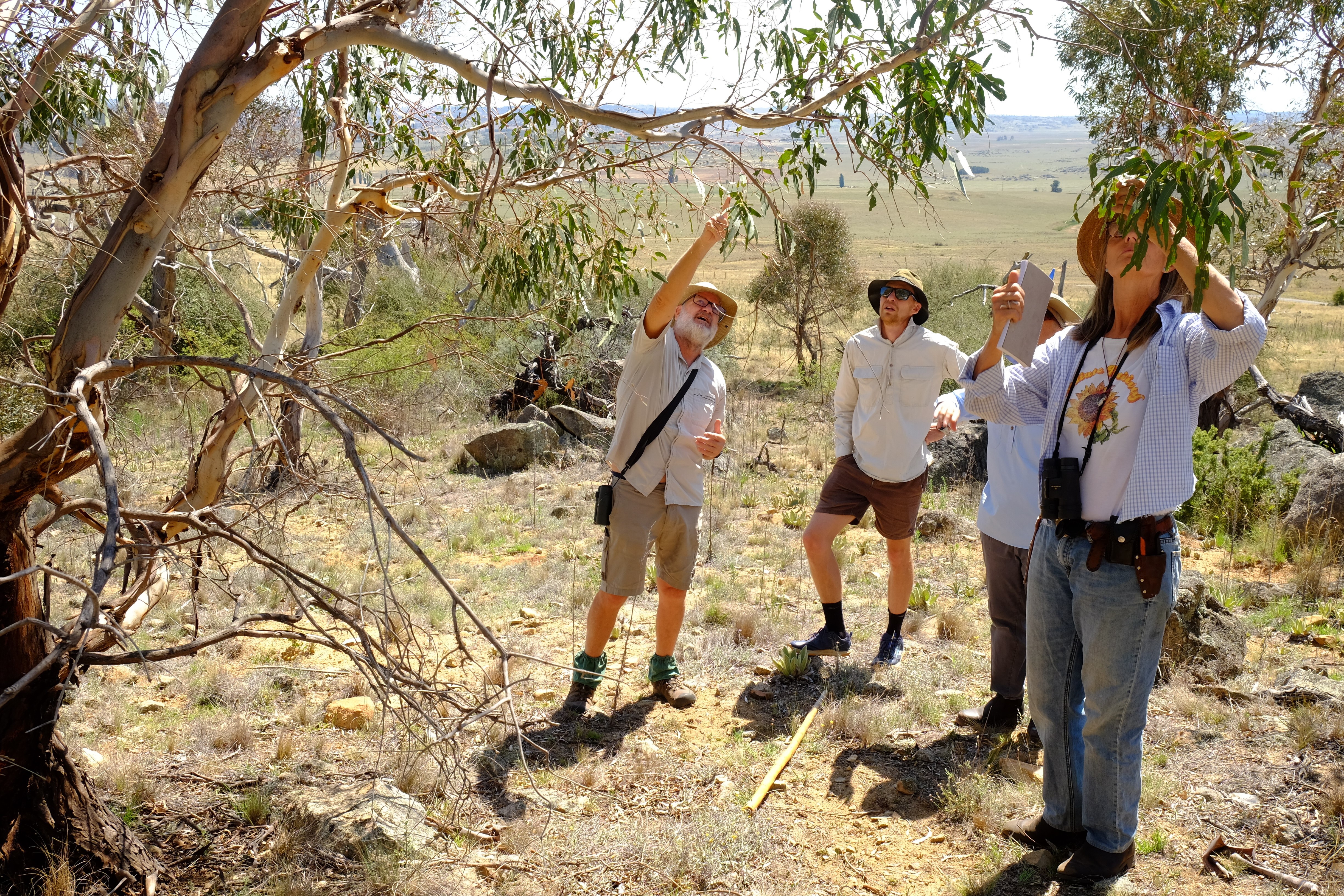
Use a common language and framework to effectively assess and manage your natural resources, and develop a clear understanding of the condition of your native vegetation.
- Easy benchmarkingScore a site's vegetation condition in minutes, using our proven methodology.
- Upskill your teamA consistent, simple framework lets more people contribute to land management work.
- Identify high potential sitesFind the sites with the best potential for conservation and restoration, so your effort goes where it matters most.
Efficient management and reporting
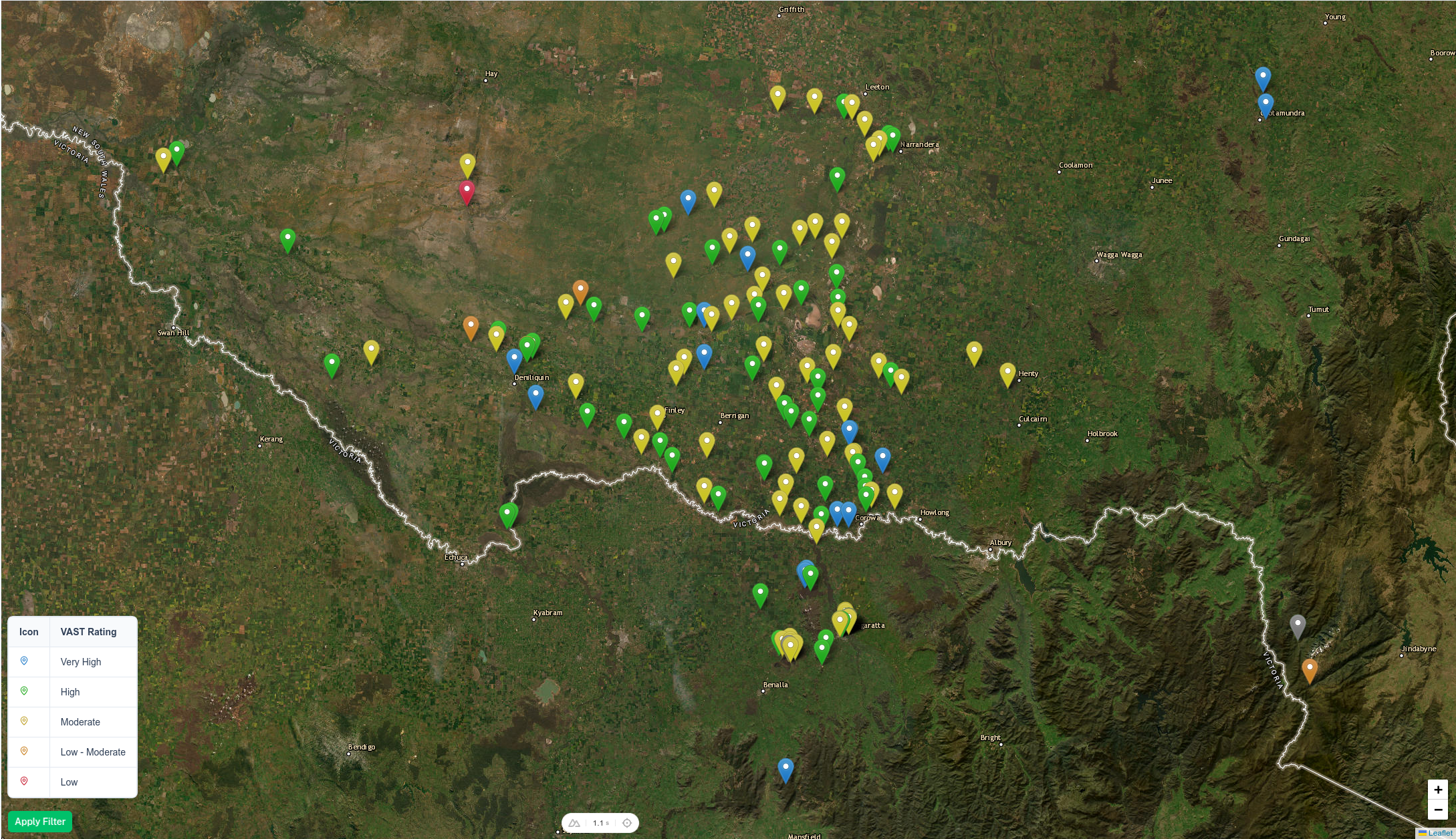
Apply filters to identify trends and spot patterns across projects, or drill down to individual sites and high quality photos for more detailed analysis.
- Scalable reportingUse one standardised approach to compare results from a single paddock to nationwide.
- Measure impactSee what grant funding has achieved on the ground, and track progress against your targets.
- Easily export dataDownload photos and data as CSV, GeoJSON or Word reports for further analysis and reporting.

Features That Set Us Apart
Our easy to use platform combines a range of features that make it simple to record, assess and manage your native vegetation and natural resources.
Built for land managers
Developed by Ian Davidson, a land management expert with over 30 years of experience in the field.
Simple, inclusive language
Our platform is designed for everyone, from land managers to conservationists and farmers.
Offline capable
Assess and manage your native vegetation even when you're out of mobile service. Download your project's map area and data before you go.
Plant identification
Take a photo of a plant to get suggested species, then confirm or correct the identification.
Proven methodology
Our native vegetation assessment methodology utilises a state and transition model approach, a proven method for assessing and managing native vegetation.
Easily import or export data
Export photos and data as CSV, GeoJSON or Word reports, or import existing GIS layers to enhance your project.
Maps with context
Switch between satellite, topographic and street basemaps, and add reference overlays such as vegetation, fire history and property boundaries.
A record of every change
An audit log shows who changed a site, visit or photopoint, and when.
Connect your own tools
Read your project data from other software using the Covram API.
Create your free Covram account today!
Sign up for your free account today to see how Covram can help you manage your native vegetation more effectively.